

NOTE: "HOME" takes you to our initial home page; "UP" will return you to the Peru/Ecuador site for more exploring.
Peru is the third largest country in South America.
There are three different regions – the coastal strip, the Andes and
the Amazon. On this trip we focused
on the coast and the Andes since we had been to Amazonas in Venezuela.
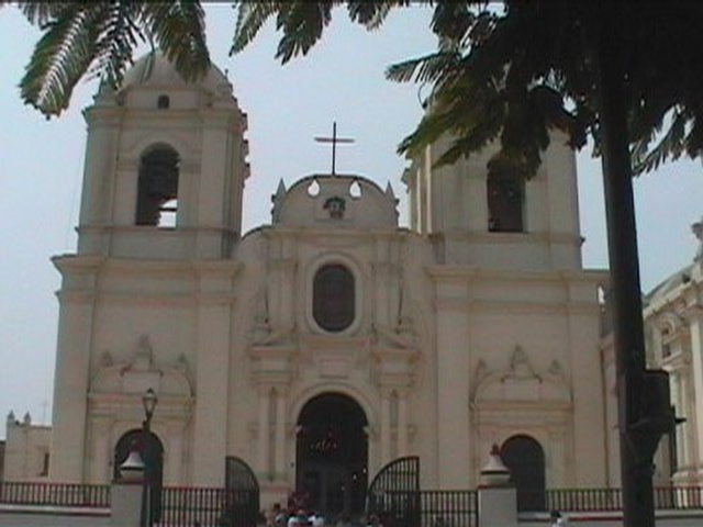
We began our trip in Lima and returned for several nights there. Lima is the capital of Peru and was founded in 1535.
Built on both sides of the Rimac River, Lima is a combination of colonial
buildings sprinkled with a few new soaring modern skyscrapers.
The first region of the country we explored was near the
towns of Chiclayo and Trujillo, both being approximately a one hour flight from
Lima. They are located in the
narrow desert strip along the northern coast of Peru.
This area was the center of the pre-Incan Chimu and Moche civilizations. Representative
of the Moche culture, the treasures unearthed in the nearly 2,000 year old Tomb of the Lord of Sipan
(near Chiclayo) include exquisite detailed objects of gold, silver, copper and
other metals plus precious stores. The
Bruning Museum houses these treasures. We thought many of these objects
rivaled the treasures found in King Tut's tomb. Near
the city of Trujillo are the famous Temple of the Sun and Temple of the Moon
which feature incredible mosaics from the Chimu kingdom.
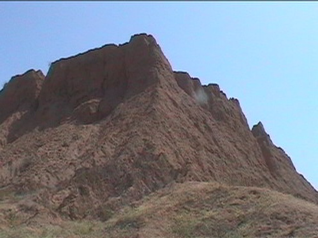
Also found nearby is the "mud city" of Chan Chan and other
ruins of the Chimu culture from the 12th through 14th centuries.
We next traveled to the Arequipa area, the town devastated
by an earthquake on June 23. Arequipa
is known as the "White City" because of the use of local white
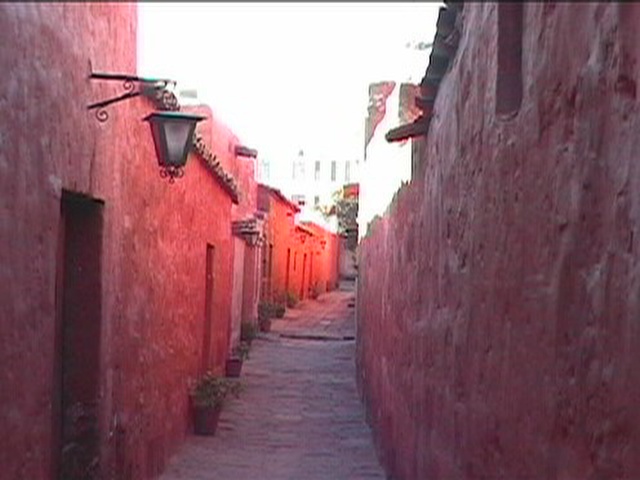
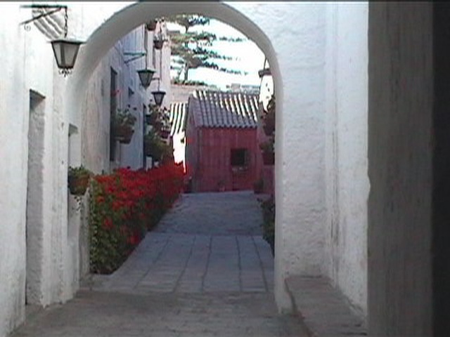
volcanic stone as its primary building material. Its two major attractions – the 16th century
Monastery of Santa Catalina and the Cathedral – were wonderful sights for us
but have now been severely damaged. Accessible
from Arequipa by car two hours north is the spectacular Colca Canyon, one of the
deepest canyons in the world. Apart
from terrific scenery, we also had the opportunity to watch the Andean Condor,
with wing spans of 10', ride the canyon's thermals and soar high into the sky.
Cuzco, the Andean city that served as our base before and
after we trekked the ancient Inca Trail, was our next destination.
Cuzco, situated at 11,200 feet, was the ancient capital of the Incas and
is the oldest continuously inhabited city in the Western Hemisphere.
After spending two nights here (to help acclimate and enjoy the unique
blend of Incan/Spanish culture), we began the trek.
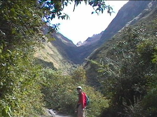
Our first day of the 4-day trek was the easiest.
We began by taking a train ride to Chillca, and started the trek along
fairly level terrain beside the Urubamba River.
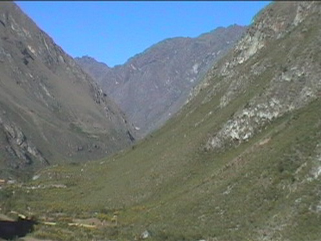
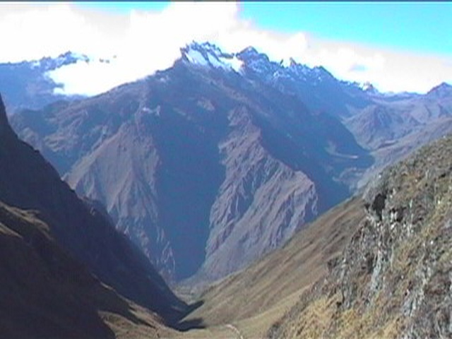
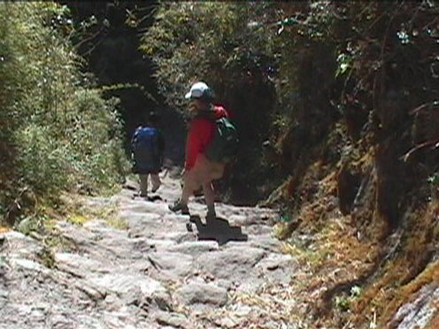
However, for the remaining 3 days, we climbed along the ancient ridge-top
route taken by the Incas on their pilgrimages.
The trail is a magnificent walkway of stones, stairway and tunnels (and,
of course, just some plain walking paths) that traverse the ridges high above
the Urubamba River in cloud forest. Various
archaeological remains of villages and strongholds are found along the trail
such as Sayacmarca and Phuyupatamarca. In
the course of the trek, we climbed three passes.
The first, Warmihuanusca ("Dead Woman") was at 13,766 ft., the
highest on the trail. We also had
two more passes (on the same day as Dead Woman), at 13,120 ft. and 12,234 ft. We
camped in tents and slept in sleeping bags (which we had to bring). The second
night out the temperature hovered just above freezing. In all we hiked only
about 25 miles but at high altitudes.
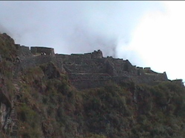
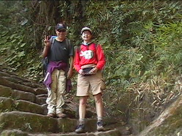
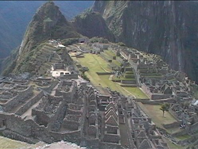
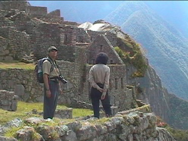
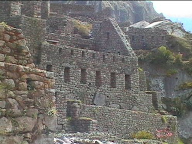
Our reward came at the end of our third day, when we
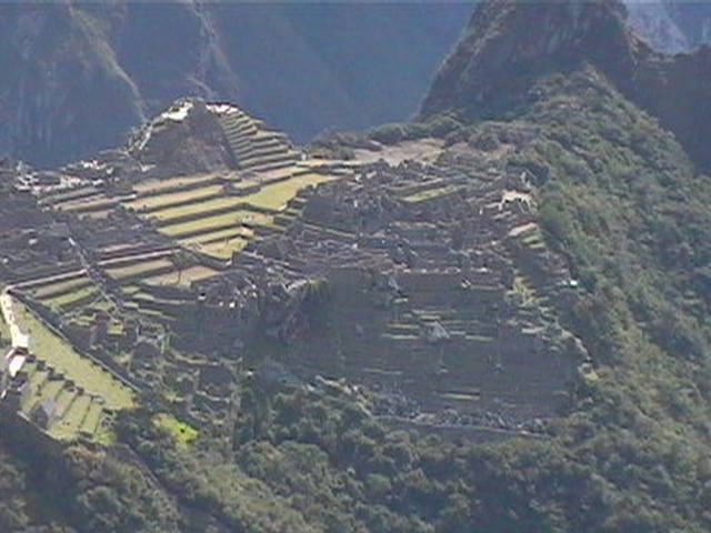
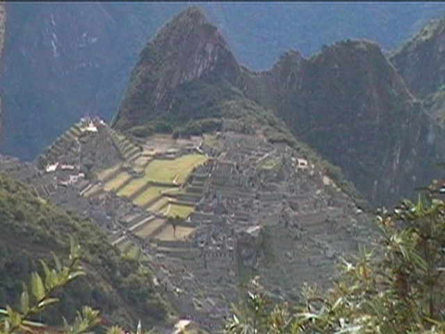
reached Intipunku, the "Gate of the Sun," and had our first
spectacular view looking down upon Machu Picchu thousands of feet below.
Unbelievable! The stone walls of the ancient city are an incredible sight
and attest to the advancement of the Incan civilization. We spent the following morning/afternoon exploring Machu
Picchu before taking a train the whole way back to Cuzco. Yes, you can see Machu Picchu without trekking but we're
convinced it wouldn't be the same experience!!
We then returned to Lima for a final night in Peru.
It's a wonderful country with incredible diversity.
Apart from Machu Picchu, it has yet to be fully developed for tourism.
As such, it offers a unique opportunity to view ruins and nature without
hoards of other tourists. It also
represents a great value. So, go
and enjoy – we certainly did!!
Click on the image to display a larger photo. Once displayed, click on the BACK button (first button on the left of your browser) to return to this page.
LIMA
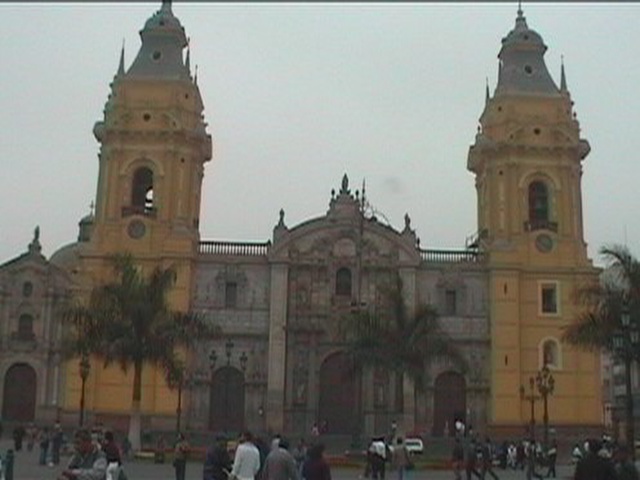 |
CATHEDRAL OF LIMA |
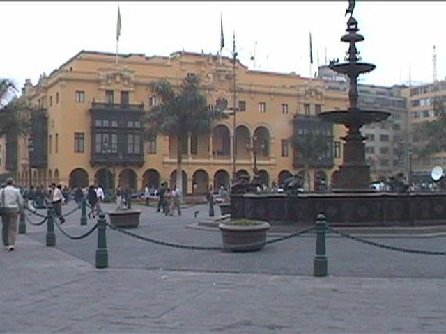 |
CITY HALL IN LIMA THE CEDAR BALCONY IS IN TYPICAL MOORISH STYLE |
CHICLAYO
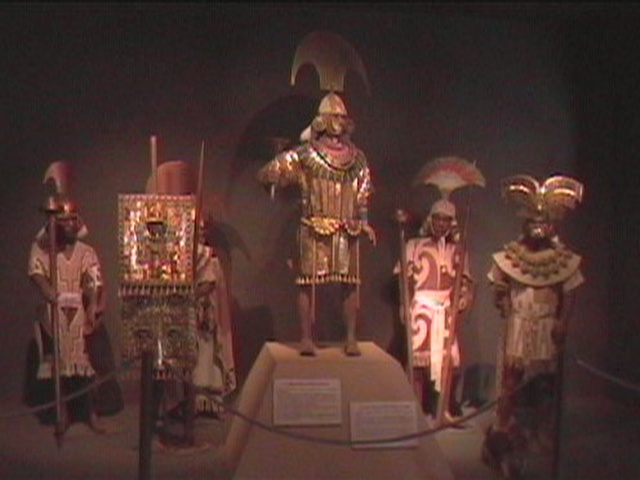 |
BRUNING MUSEUM (NEAR
CHICLAYO) |
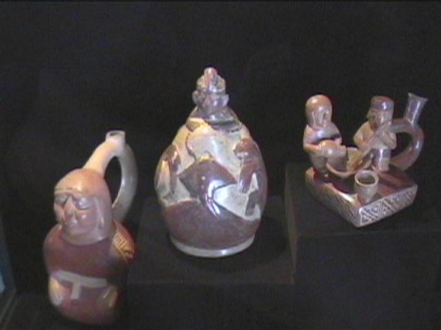 |
BRUNING MUSEUM POTTERY FROM THE MOCHE
CIVILIZATION |
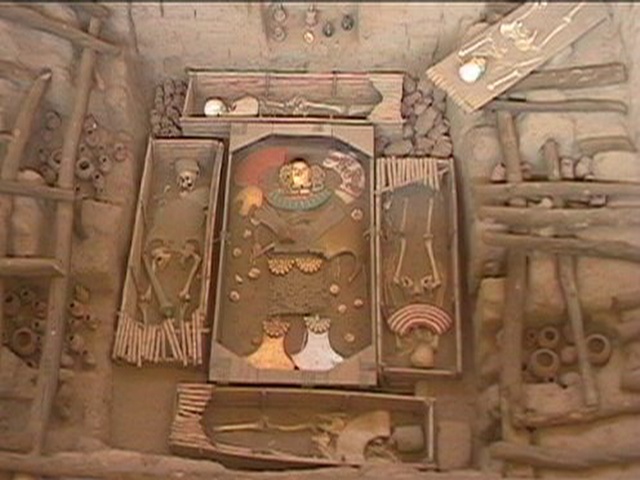 |
SIPAN |
 |
PAMPA GRANDE |
TRUJILLO
 |
CATHEDRAL OF TRUJILLO 18th CENTURY COLONIAL ARCHITECTURE |
 |
TEMPLE OF THE MOON |
 |
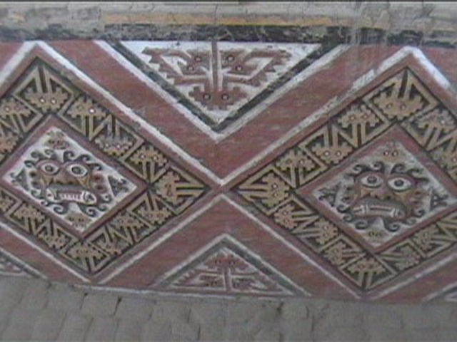
TEMPLE OF THE MOON ORIGINAL PAINT |
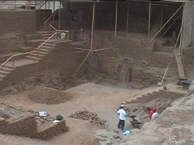 |
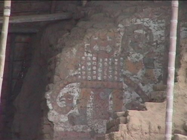
TEMPLE OF THE MOON CURRENT EXCAVATIONS |
 |
RAINBOW TEMPLE CHIMU CIVILIZATION |
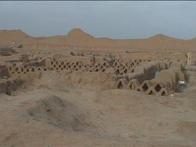 |
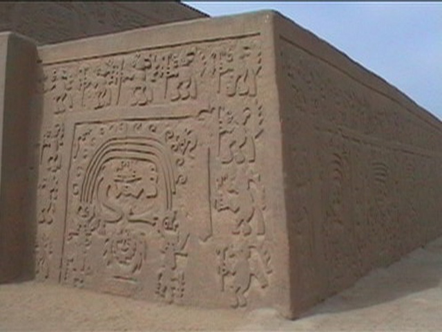
CITY OF CHAN CHAN AT ONE TIME THE LARGEST CITY OF THE AMERICAS |
AREQUIPA
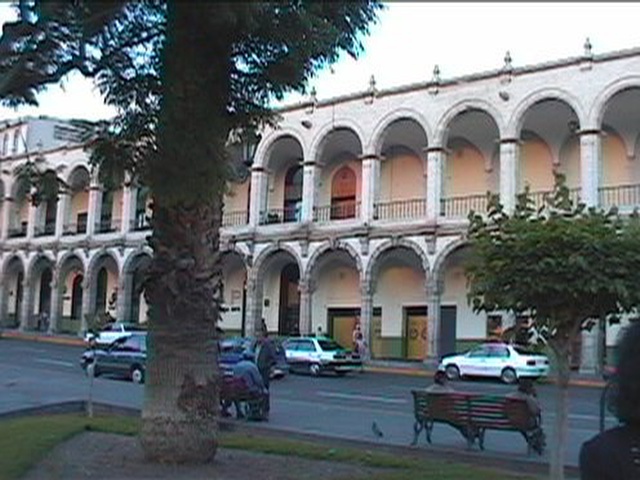 |
MAIN SQUARE - COLONIAL
ARCHITECTURE |
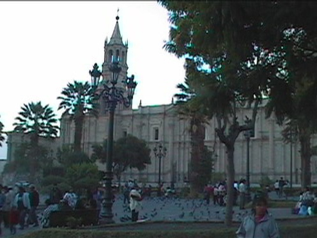 |
CATHEDRAL OF AREQUIPA |
 |
MISTI VOLCANO AN ACTIVE VOLCANO OVER 19,000' HIGH |
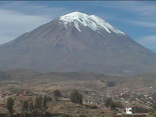 |
MISTI VOLCANO THE VOLCANO HAS SNOW FIELDS YEAR-ROUND |
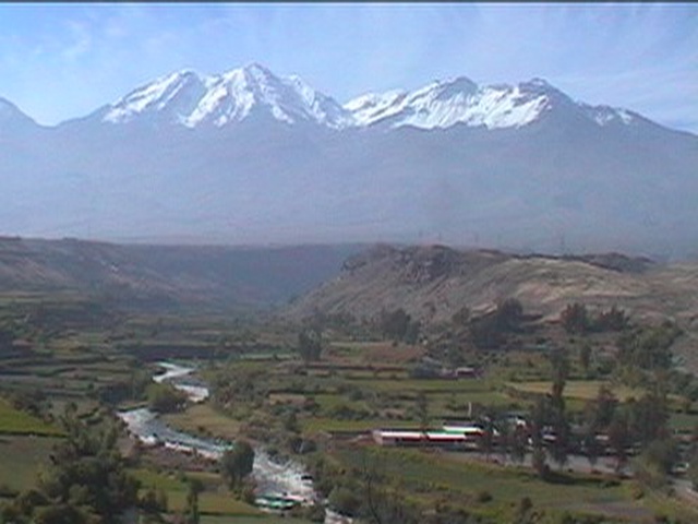 |
CHACHANI VOLCANO A SISTER VOLCANO TO MISTI; AGAIN, |
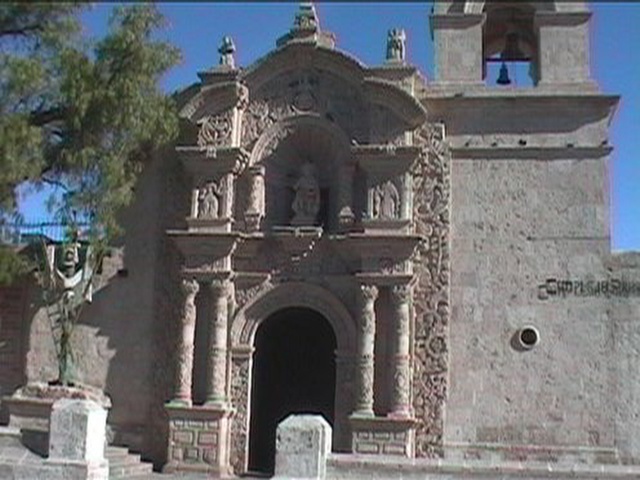 |
CHURCH OF JOHN THE BAPTIST NOTE THE USE OF THE WHITE VOLCANIC STONE |
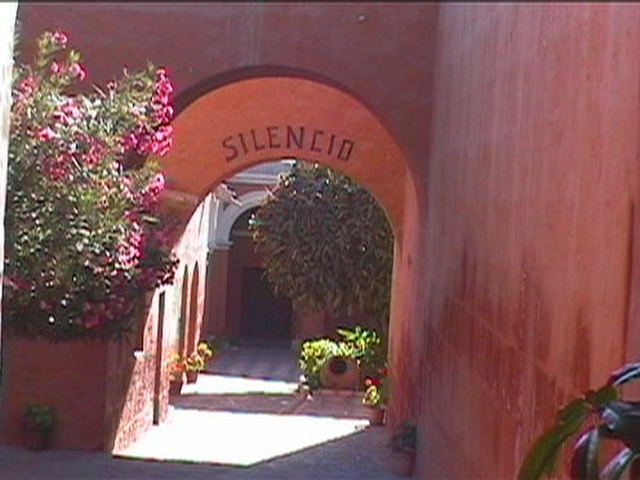 |
CONVENT OF SANTA CATALINA ENTRYWAY |
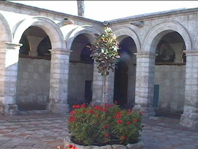 |
CONVENT OF SANTA CATALINA INTERIOR COURTYARD |
 |
CONVENT OF SANTA CATALINA OLDEST BUILDING IN THE CONVENT |
 |
CONVENT OF SANTA CATALINA STREETS IN THE CLOISTER |
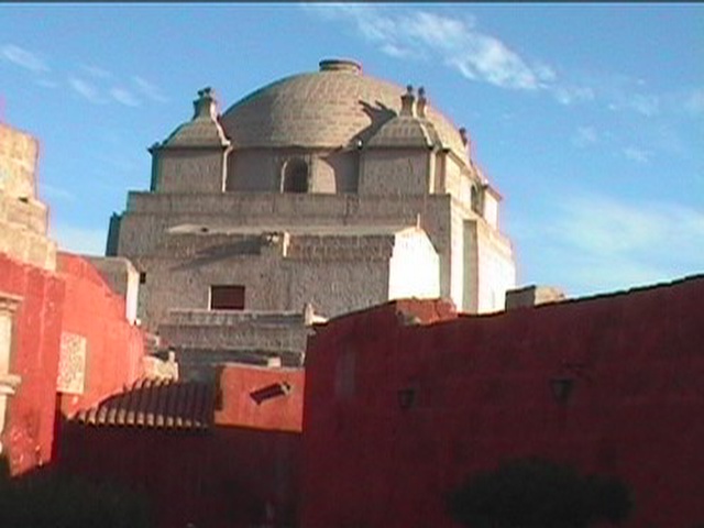 |
CONVENT OF SANTA CATALINA MOORISH STYLE DOME OF THE CATHEDRAL |
COLCA CANYON
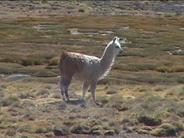 |
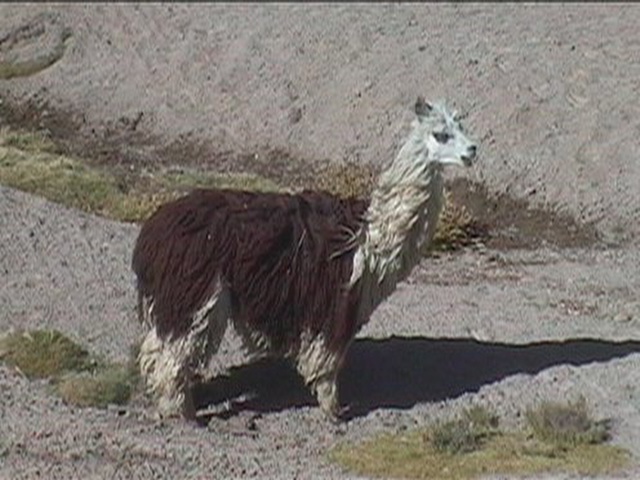
WILD LLAMA NATIONAL RESERVE OF SALINAS & |
 |
WILD ALPACA NATIONAL RESERVE OF SALINAS & |
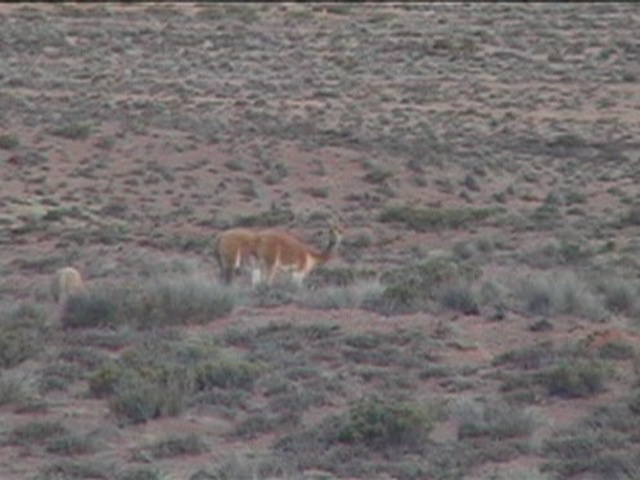 |
PAIR OF VICUNA |
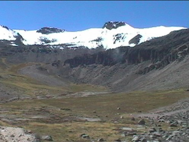 |
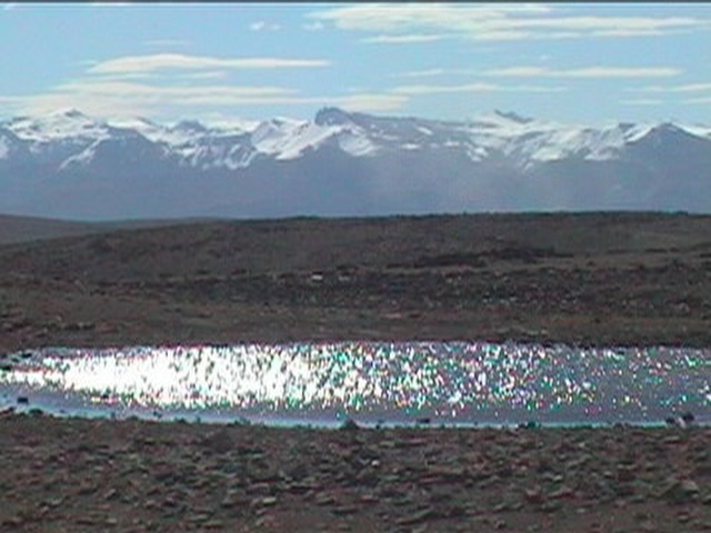
EN ROUTE TO COLCA CANYON AT ~16,000'+ WITH SNOW CAP PEAKS AT 20,000' |
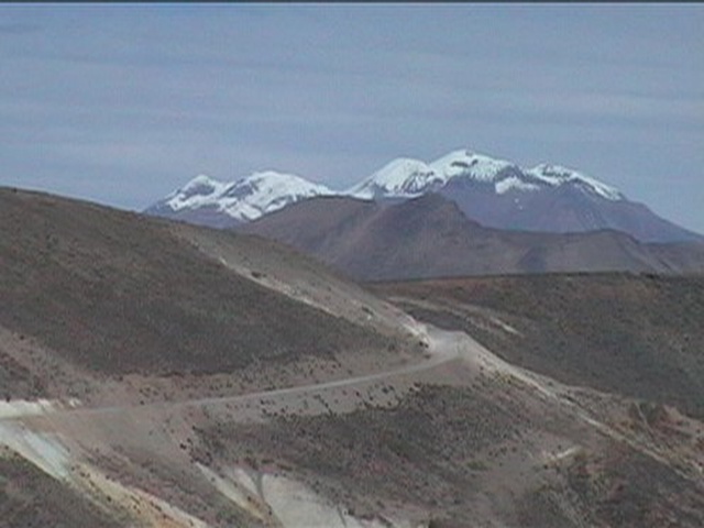 |
EN ROUTE TO COLCA CANYON
|
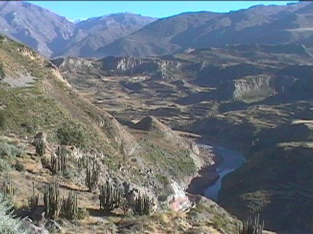 |
COLCA RIVER IN A SHALLOW PART OF COLCA CANYON |
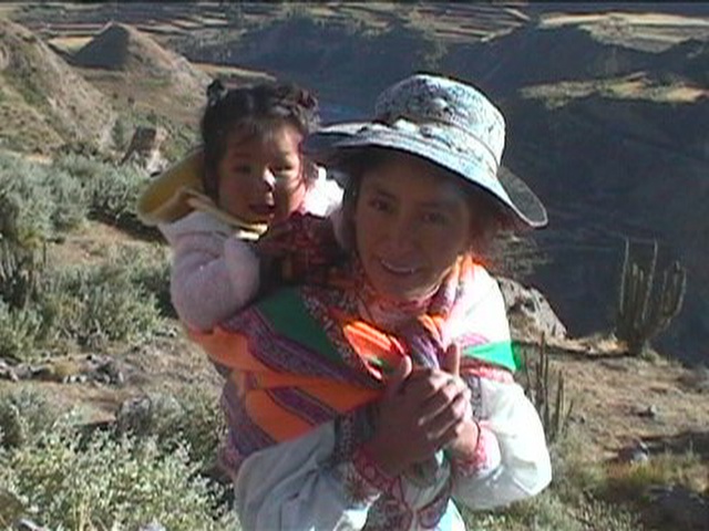 |
LOCAL PEOPLES IN THEIR TRADITIONAL |
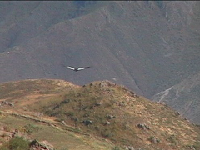 |
ANDEAN CONDOR WITH A 10' WING SPAN |
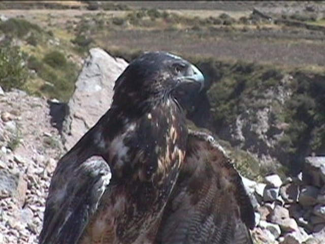 |
AN EAGLE AT CONDOR CROSS |
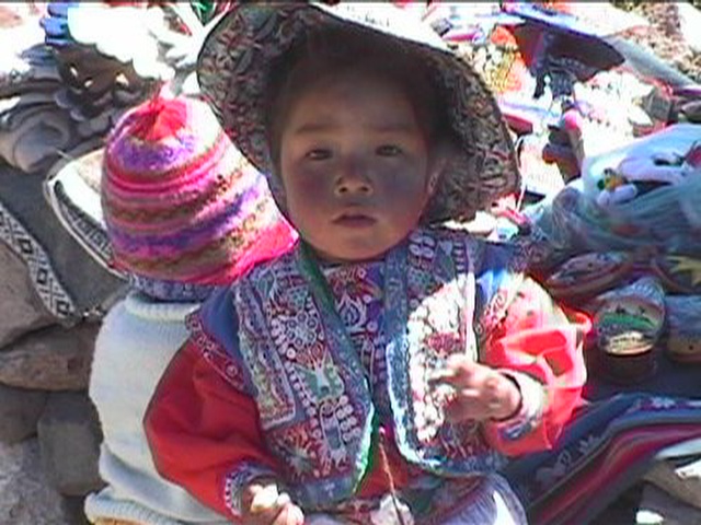 |
AN ANDEAN LITTLE GIRL |
 |
HIGHEST POINT ON OUR ROAD AT 16,500' |
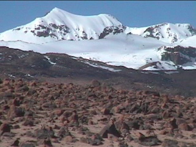 |
OUR PASS AT 16,500' WITH SNOW CAPS |
CUZCO
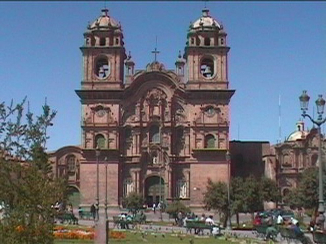 |
CATHEDRAL OF CUZCO |
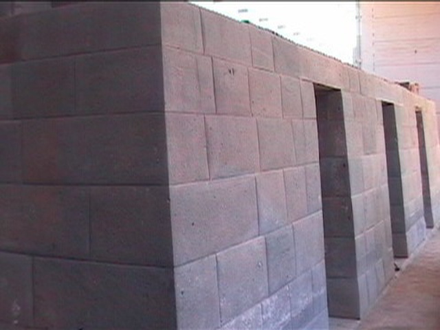 |
INCA TEMPLE OF THE SUN |
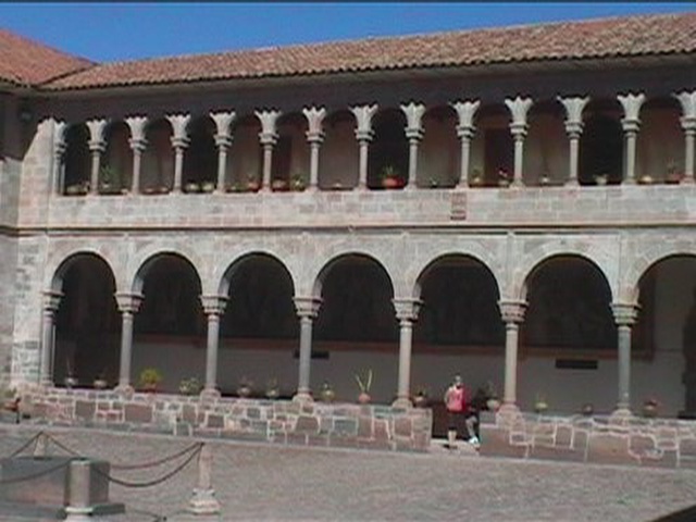 |
COURTYARD OF A DOMINICAN MONASTERY |
 |
SAQSAYWAMAN |
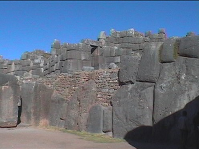 |
SAQSAYWAMAN THE DOORWAY FACES EXACTLY TOWARD THE SUN |
INCA TRAIL TREK & MACHU PICCHU
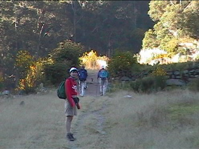 |
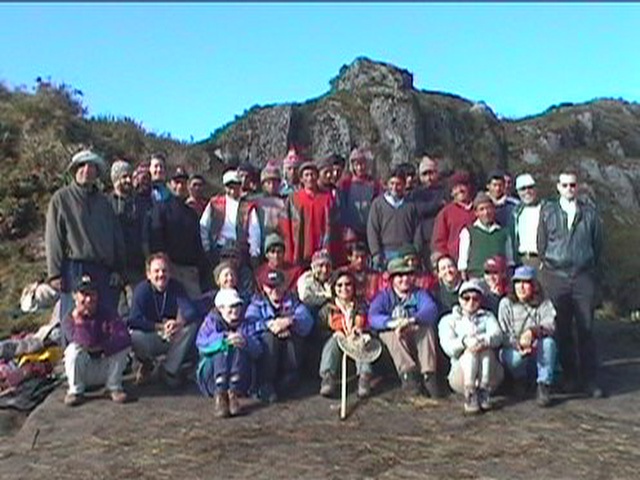
DAY 1 THE TREK BEGINS! |
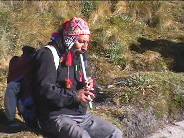 |
NARCISCO |
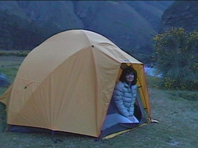 |
OUR HOME EACH EVENING |
 |
DAY 2 INCAN RUINS ALONG THE TRAIL |
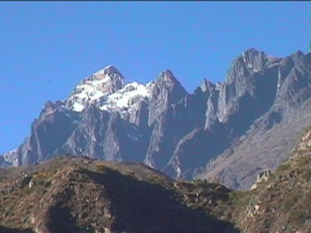 |
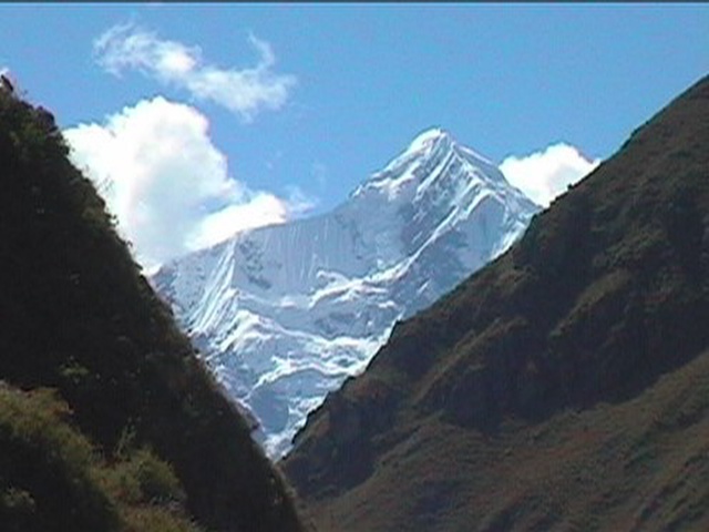
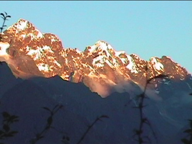
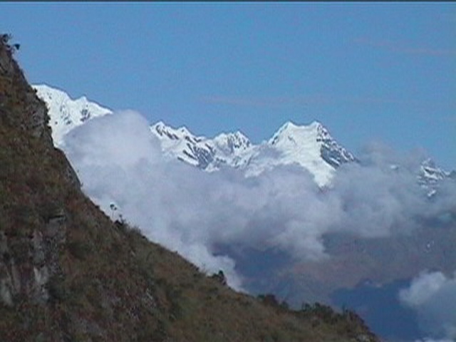
THE HIGH ANDES 20,000' PLUS |
 |
EN ROUTE TO THE SADDLE |
 |
A KODAK MOMENT! (WAKAWIKI - 20,000') |
 |
AT 10,000 FEET |
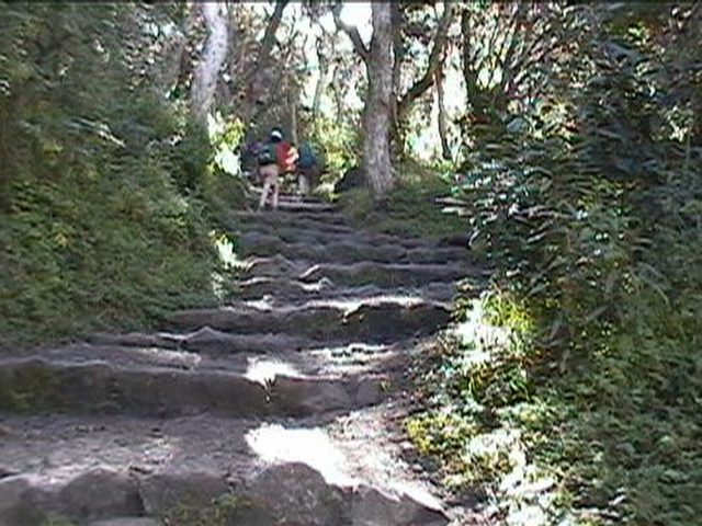 |
ANCIENT INCA STAIRS ON THE TRAIL |
 |
VIEW FROM OUR TENT AS SUNSET APPROACHES |
 |
DAY 3 |
 |
|
 |
ATOP DEAD WOMAN'S PASS |
 |
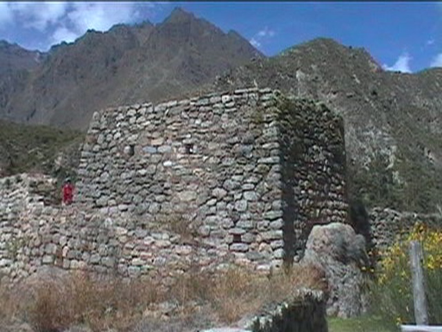
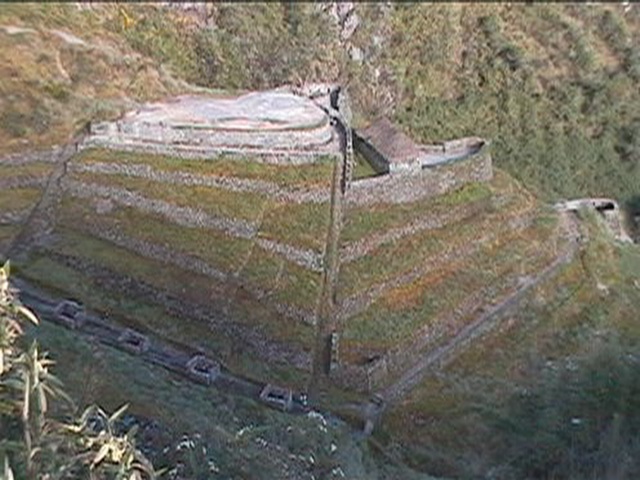
SAYACMARCA A MAJOR RUINS ON THE TRAIL |
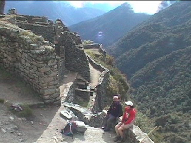 |
SAYACMARCA LINDY & NARCISCO INSIDE THE RUINS |
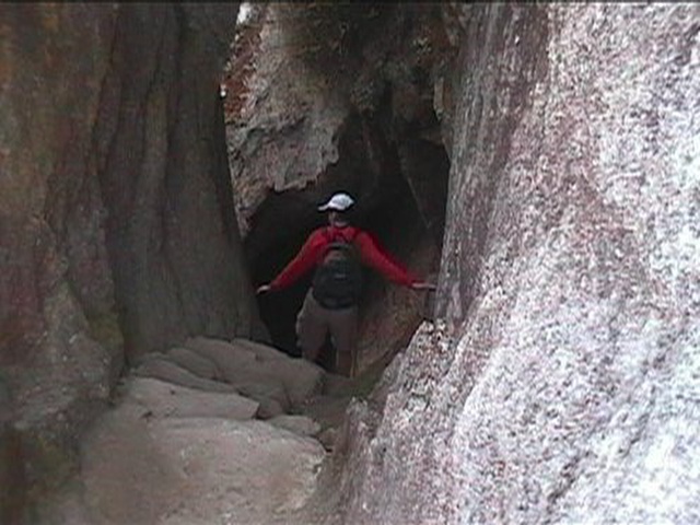 |
LINDY GOING THROUGH A TUNNEL CARVED |
 |
DAY 4 |
 |
|
 |
PHUYUPATAMARCA |
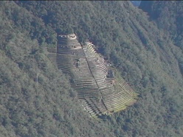 |
INTI PATA A RUINS PERCHED ON THE MOUNTAIN |
 |
ANCIENT INCAN STEPS (LINDY & RENEE, OUR ASSISTANT GUIDE) |
 |
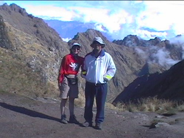
LINDY & RENEE |
 |
MACHU PICCHU VIEWED FROM INTIPUNKU |
 |
MACHU PICCHU ANOTHER VIEW AS WE HEAD DOWN INTO IT |
 |
DAY 5 A RETURN TO MACHU PICCHU |
 |
EARLY MORNING IN THE |
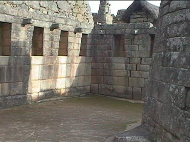 |
MACHU PICCHU INSIDE THE TEMPLE OF THE SUN |
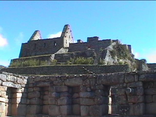 |
SOME OF THE INCREDIBLE |
 |
DITTO!! |